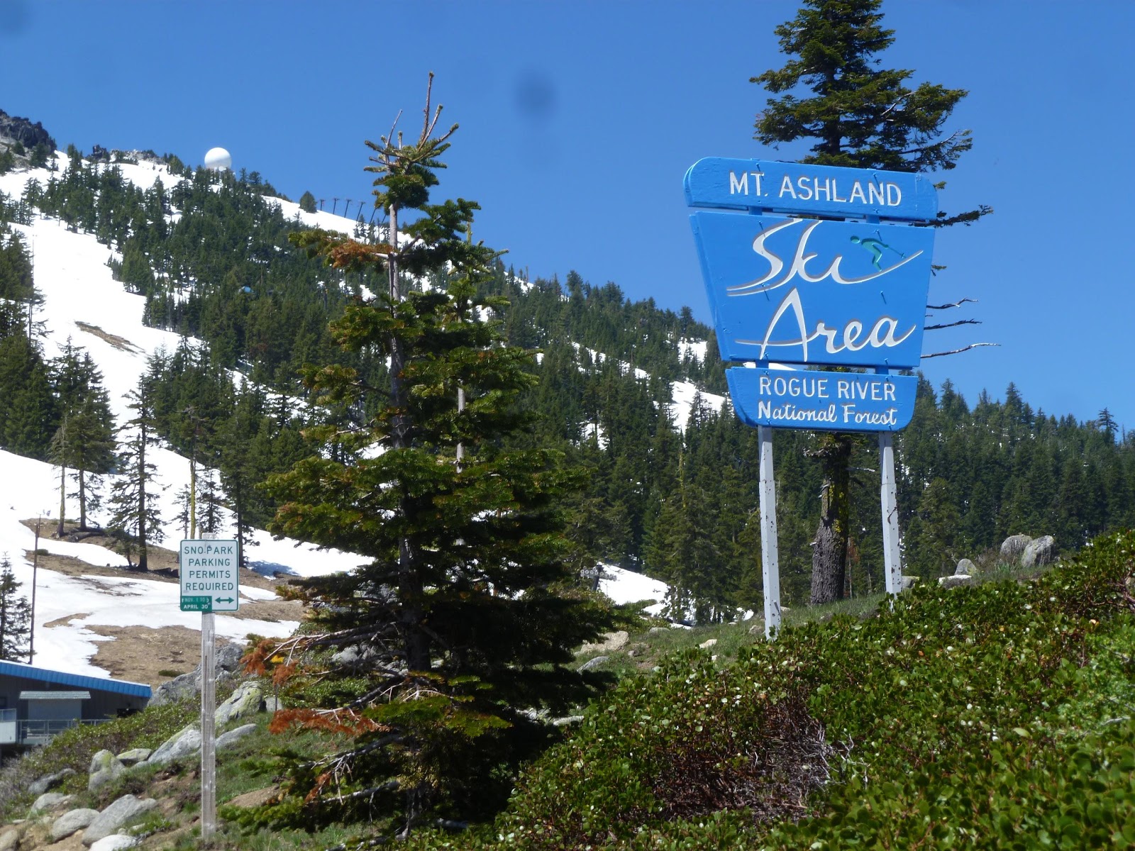
Yesterday, we decided it was the perfect day to do a bit of exploring so we drove up to Mt. Ashland. It's just about 12 miles from Ashland, to the freeway exit, and maybe another 15+ miles to the ski bowl. It was a clear and crisp blue sky day and the views were spectacular! We drove past the ski resort for another mile or two until we reached the area where the road was gated off. We parked the car and walked about another mile where we came upon a campground. We didn't know what we would find on this little excursion so next time we will be prepared to walk/hike further. It is a beautiful area to connect with the wonder of mother nature.
Mini geography lesson: Mt. Ashland is the highest peak in the Siskiyou Mountains and it was named for the town of Ashland. The Siskiyou Moutains are in the Northern Klamath Mountains in Northern California and Southeastern Oregon. The California/Oregon border is 5 miles south of the mountain.
 |
| Mt. Ashland ski area |
 |
| Snow capped Mt. Shasta in the distance |
 |
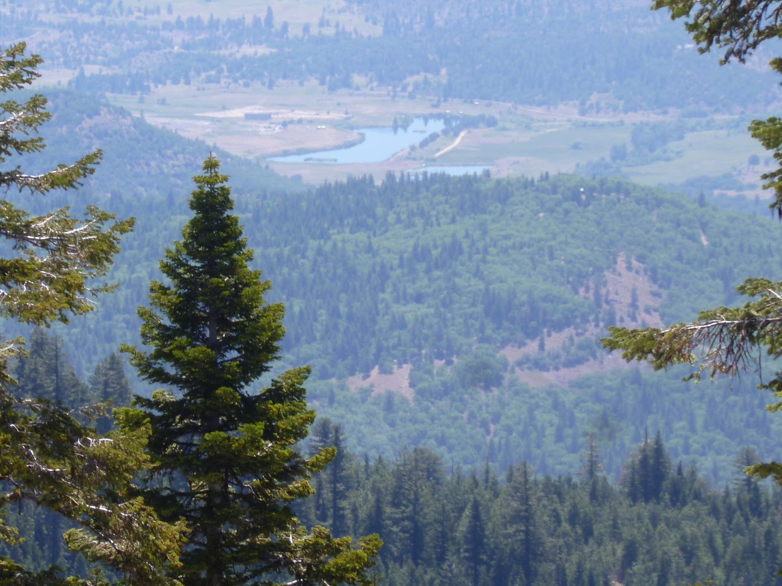
| Valley below, near Yreka, California |
 |
| Zoomed in on the California valley floor |
 |
| Snow capped Mt. Shasta |


No comments:
Post a Comment